Chinese engineers make sci-fi drone mapping reality
Share - WeChat


A scene from the science fiction film Prometheus, where explorers deploy a mini-drone that laser-scans caves to generate 3D models instantly, has turned into reality, thanks to the efforts of Chinese engineers.
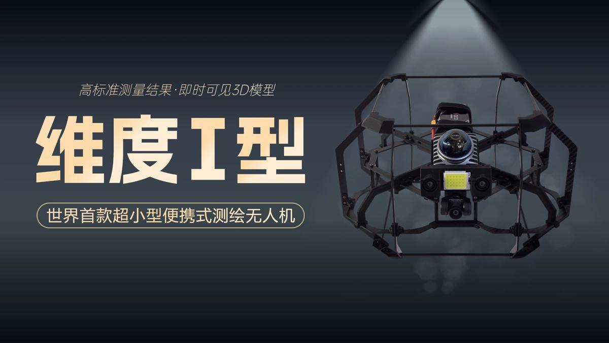
On Tuesday, the Spatiotemporal AI Perception Technology Innovation Center at the Tianfu Jiangxi Laboratory in Chengdu, Sichuan province, announced that it has launched Dimension 1, the world's first ultra-compact portable mapping drone. It is designed to perform asset digitization scanning tasks in indoor environments.
- China, Malaysia to hold joint military drill
- Over 2.4b cross-regional trips expected during Golden Week
- China uses seawater for equipment cooling
- Xinjiang's foreign trade grows 40 percent annually since 2021
- Qinghai rescue operation saves 251 trapped hikers after one death
- Vibrant China during holiday: Strong consumption vitality


